1913 Road Map of the State of New Jersey
From Original Surveys of the N.J. Geological Survey based on the Triangulation of the U.S. Coast and Geodetic Survey
1913 Road Map of the State of New Jersey
From Original Surveys of the N.J. Geological Survey based on the Triangulation of the U.S. Coast and Geodetic Survey
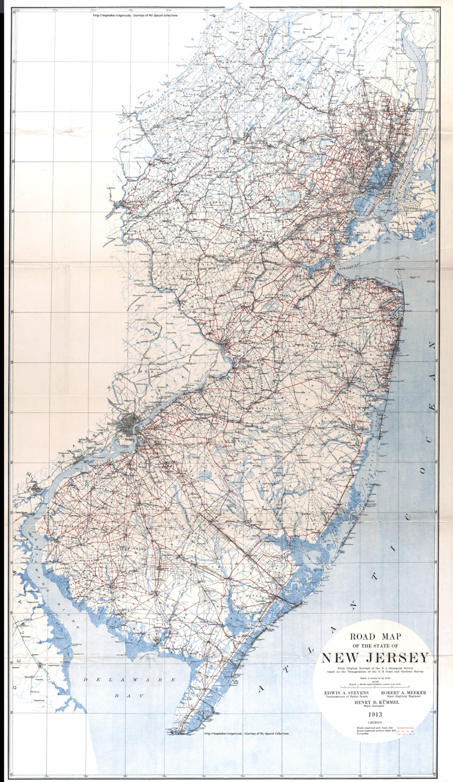
LEGEND:
Roads improved with State Aid = Solid Red Line
Roads Improved without State Aid = Dashed Red Line
Turnpikes = Dot & Dash Red Line
Stevens, E., Meeker, R., & Kummel, H. (1913). Road Map of the State of New Jersey (North Half). Co 312 Broadway, New York. https://mapmaker.rutgers.edu/HISTORICALMAPS/NJ_1913_N.jpg Accessed 2023.
Stevens, E., Meeker, R., & Kummel, H. (1913).Road Map of the State of New Jersey (South Half). Co 312 Broadway, New York. https://mapmaker.rutgers.edu/HISTORICALMAPS/NJ_1913_s.jpg Accessed 2023.