Zwiren Title Agency, Inc

Historical Map

Blog categorized as Historical Map

1928: Map of NJ
Department of Conservation and Development Map of Electric Companies Operating in New Jersey from December 1928.
12.29.23 12:09 PM - Comment(s)
1913: Map of NJ
From Original Surveys of the N.J. Geological Survey based on the Triangulation of the U.S. Coast and Geodetic Survey.
11.03.23 11:27 AM - Comment(s)
1909: Map of NJ
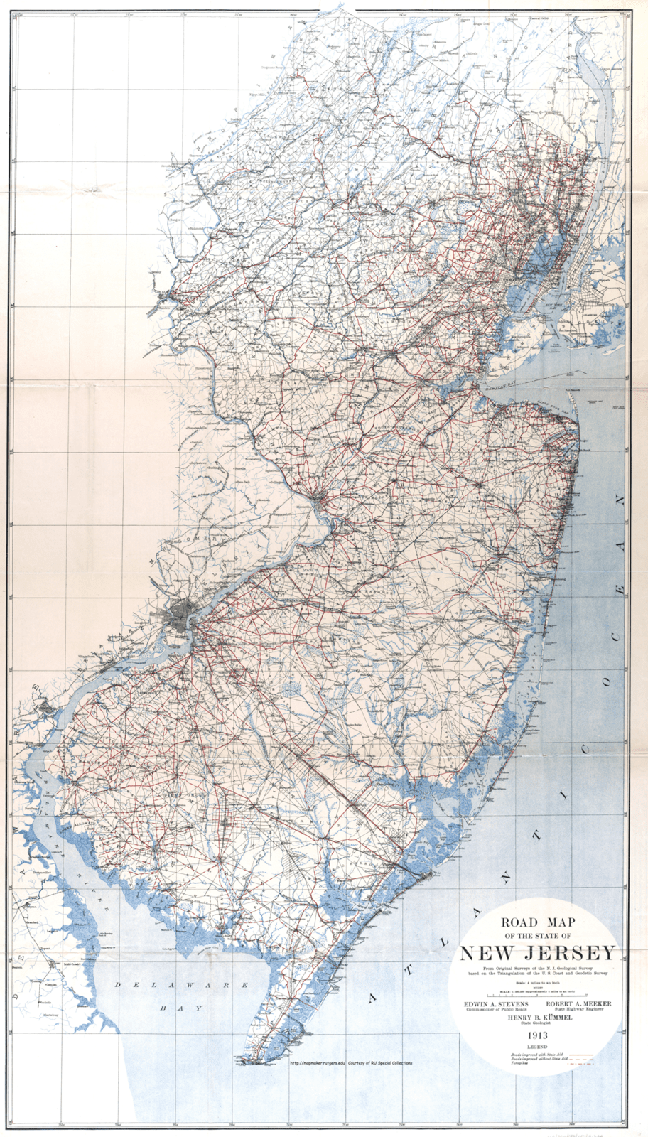
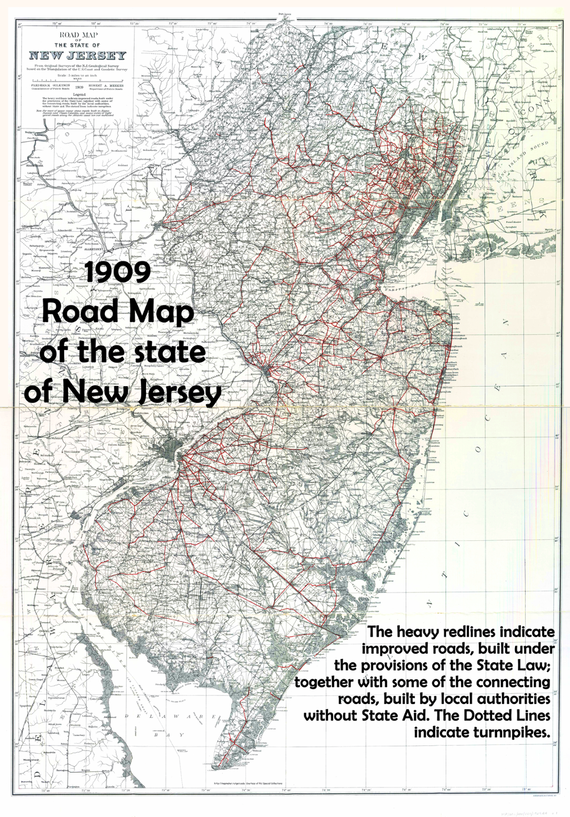
1909 Road Map of the State of New Jersey From Original Surveys of the N.J. Geological Survey based on Triangulation of the US Coast and Geodetic Survey
07.05.23 05:07 PM - Comment(s)
1900: Map of NJ
1900 Geological Survey of New Jersey: Forest Area and its Relation to the Principal Watersheds
04.28.23 11:11 AM - Comment(s)
1890: Map of New Jersey
Township Map of New Jersey: 1890
02.28.23 01:06 PM - Comment(s)
1878: Map of NJ
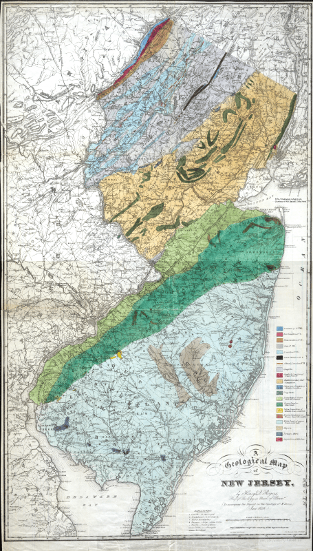
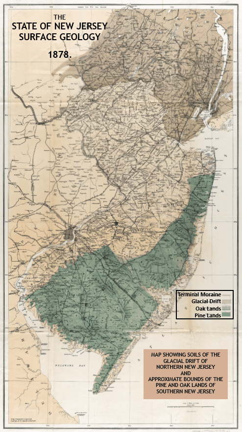
The State of New Jersey: Surface Geology ​Map Showing Soils of the Glacial Drift of Northern New Jersey and Approximate Bounds of the Pine and Oak Lands of Southern New Jersey.
02.28.23 12:09 PM - Comment(s)
1872: Map of New Jersey

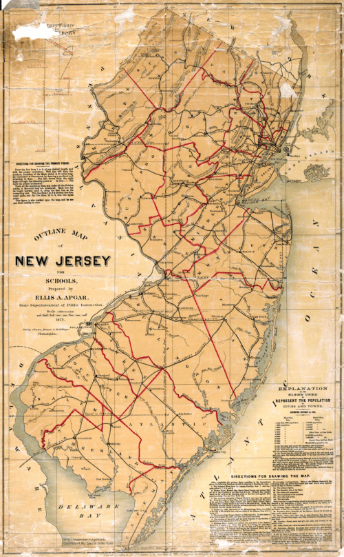
Apgar, Ellis A. Outline Map of New Jersey for Schools. 1872. State Superintendent of Public Instruction. https://mapmaker.rutgers.edu/NJ_1872.jpg Accessed 2022.

12.19.22 04:02 PM - Comment(s)
1845: Map of New Jersey
Historical Map of New Jersey from 1845
09.30.22 05:10 PM - Comment(s)
1827: Map of New Jersey

Historical Map of New Jersey from 1827 

New Jersey portion of the entitled "Map of Pennsylvania, New Jersey and Delaware. Constructed from the Latest Authorities" 

(Full map and Map Key Below)

07.19.22 04:41 PM - Comment(s)